See the sky.
Be in the sky.
From a live aircraft on the radar to a breathtaking view from its cockpit. Follow real flights in immersive 3D, with the world unfolding beneath you.
More than dots
on a radar.
A fresh way to explore aviation. Discover aircraft in real time, then switch perspective and experience the landscape from above.
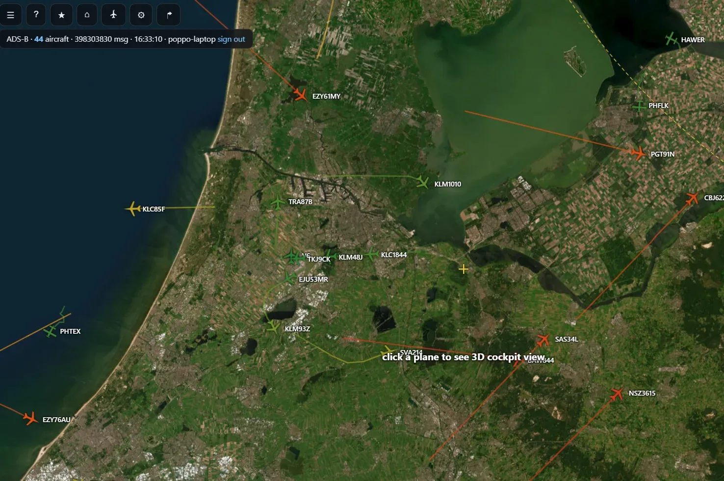
Follow live flights
Explore aircraft positions on a rich satellite map, with flight identifiers and trajectories at a glance.
Step into the cockpit
Pick an aircraft and follow its flight in a 3D viewpoint, with heading, altitude, and speed information.
Explore real terrain
See the geography beneath each flight — from city skylines and airport approaches to dramatic mountain ranges.
 ✈ 3D FLIGHT VIEW
Don't just track it.
Fly along.
See the world from the aircraft's perspective. Follow the approach to a runway, scan the terrain ahead, or look across a city from the air — all tied to real aircraft tracking.
Every flight has
a view.
Actual screenshots from poppo ADS-B. Select a category or click any view to explore it in detail.
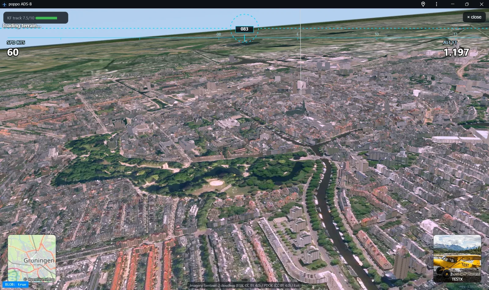
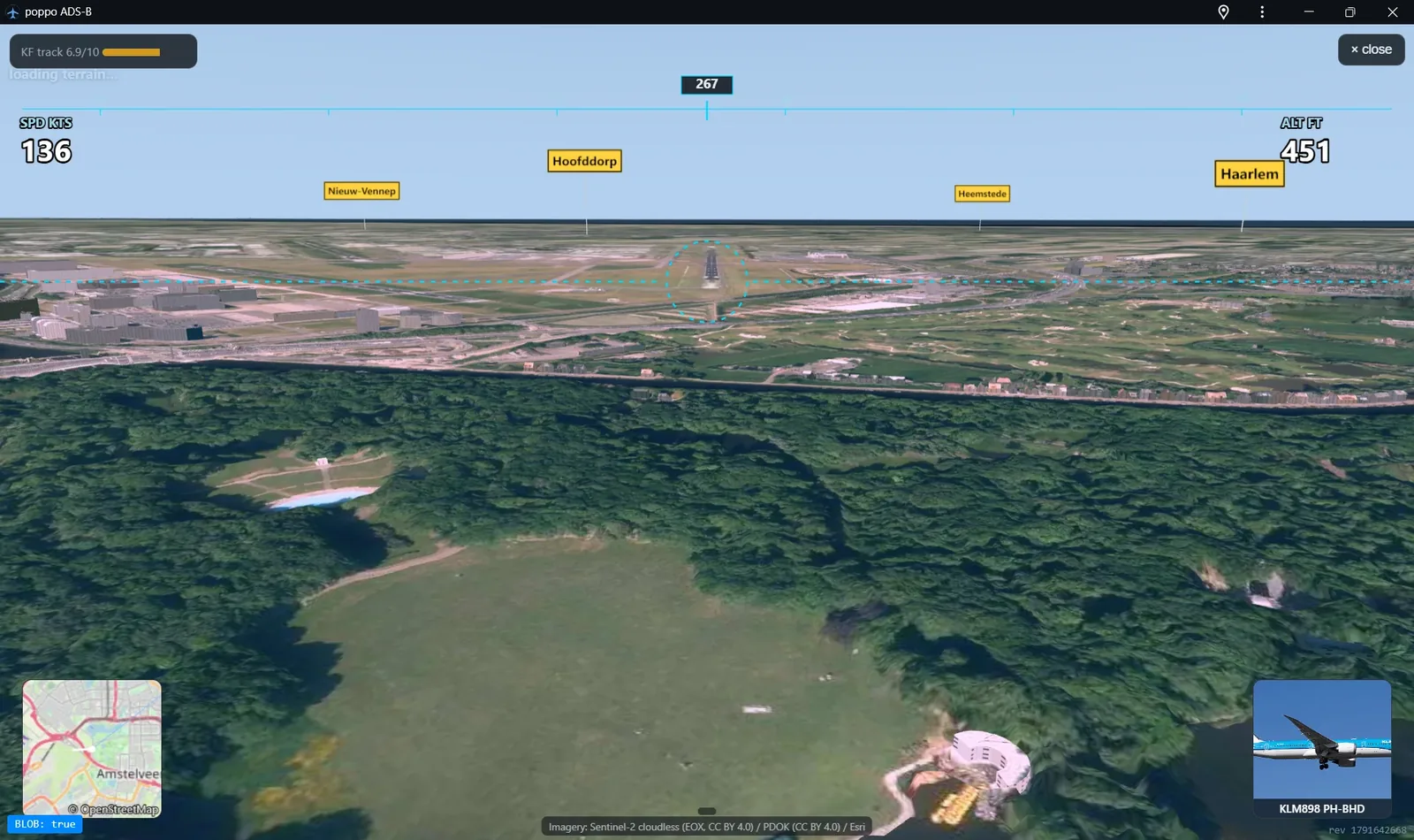
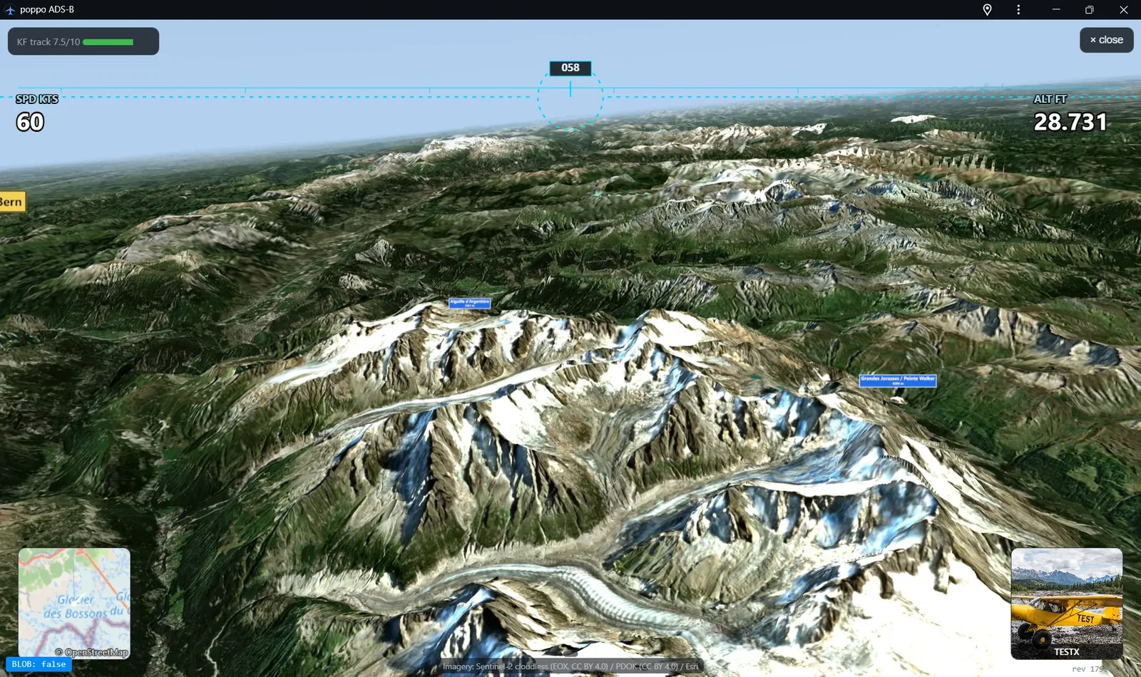
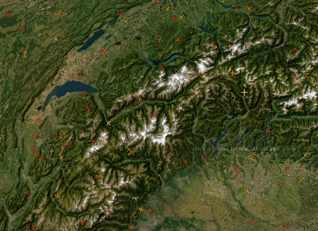
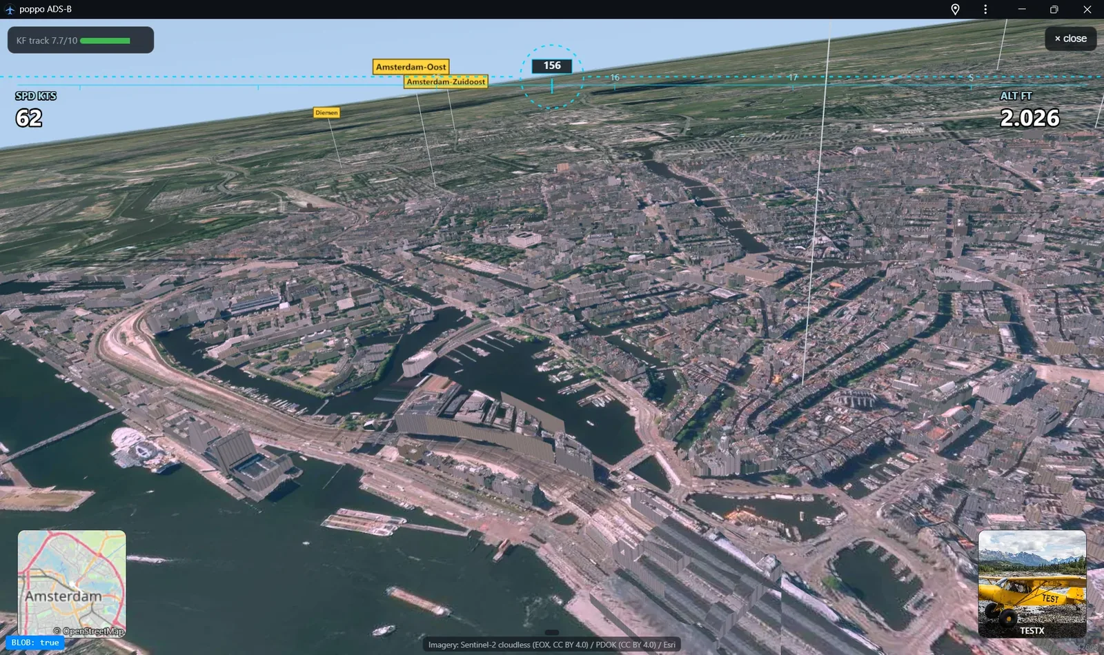
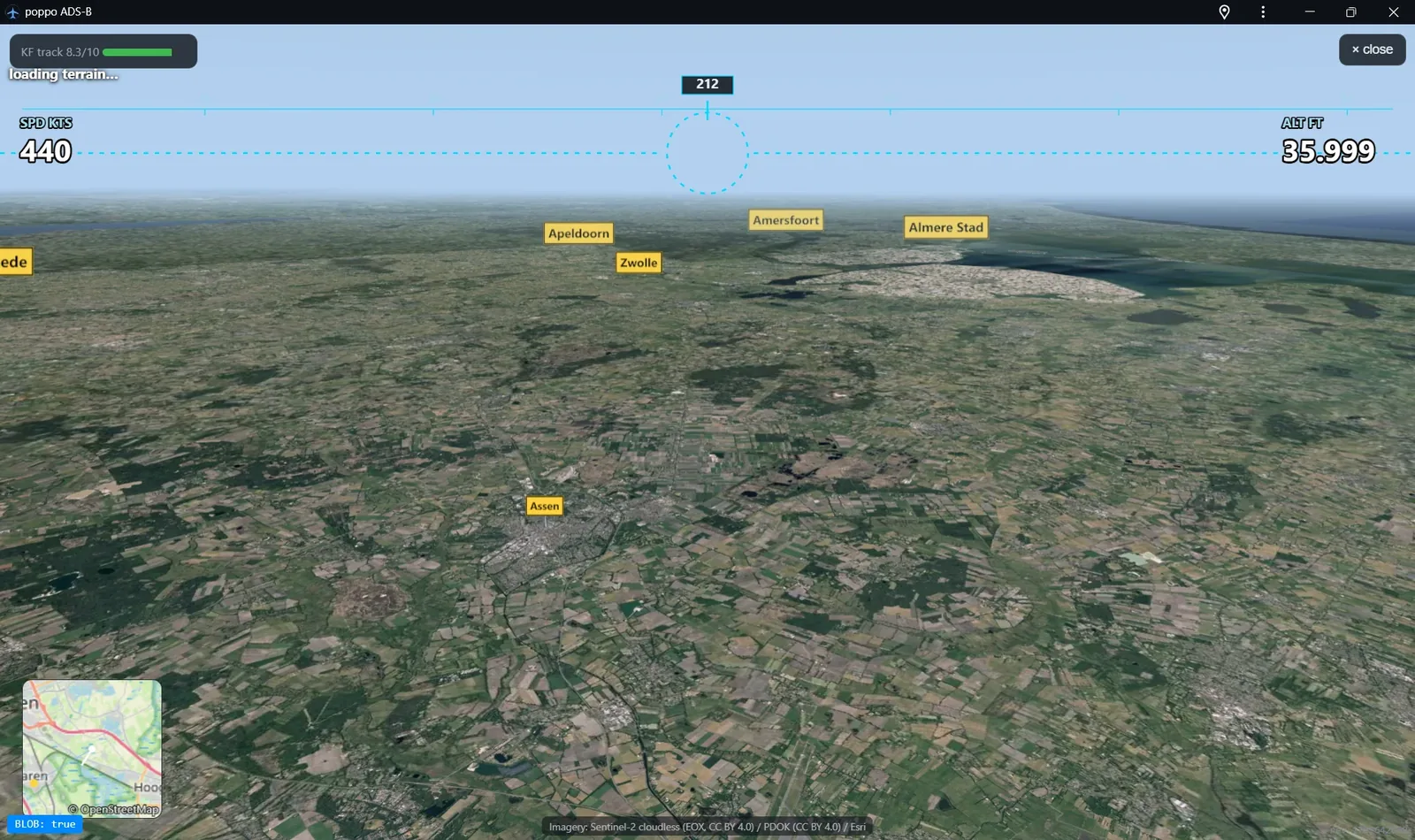
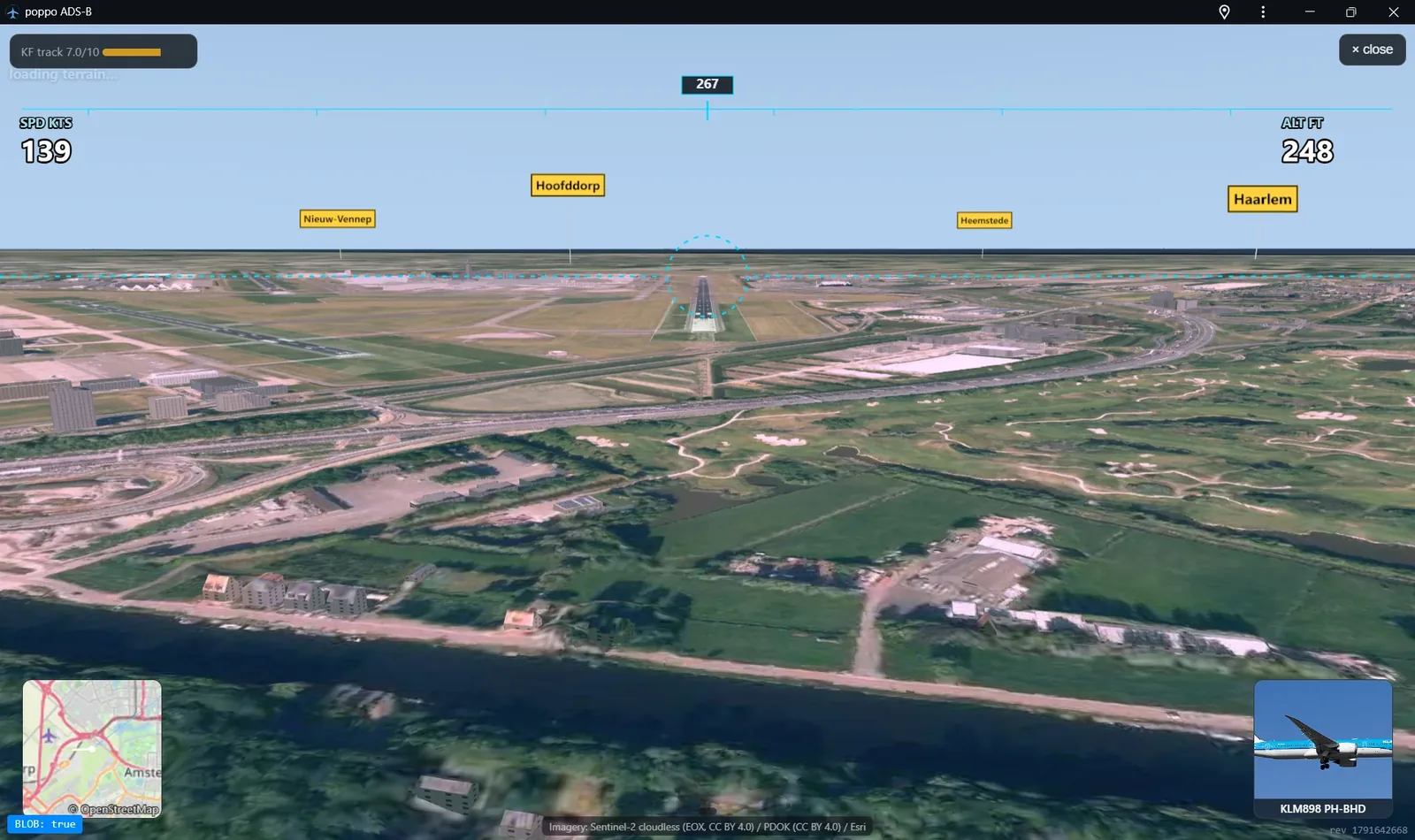
Real terrain.
Extraordinary views.
From the flat Dutch coast to the snow-capped Alps, explore the landscape in detailed 3D. Every flight becomes a journey through the real world.
Discover the views ↗Follow real flights in 2D and 3D
poppo ADS-B is a free live aircraft tracker: watch planes move in real time on a satellite map, then pick one and follow its flight from an immersive 3D cockpit view with real-world terrain and modeled buildings. Based in the Netherlands, it streams a live receiver and covers your local airport — try it over Schiphol, Rotterdam, Eindhoven, Groningen or wherever you are.
What is ADS-B and what does this site do?
ADS-B is the signal aircraft broadcast with their position, altitude and speed. This site turns that live data into an interactive radar map and a 3D flight view, so you can see — and ride along with — what's flying overhead.
Is it free, and do I need an account?
Yes, it's completely free and there's no signup. Opening the site drops you straight into the live aircraft map.
Where does the flight data come from?
From a private ADS-B receiver in the Netherlands (a Raspberry Pi with an antenna), enriched with route and aircraft information. Map imagery and terrain come from Sentinel-2, PDOK, Esri and USGS.
Can I track planes near Schiphol or my city?
Yes — pan and zoom to any airport or town on the satellite map and you'll see the live traffic around it, with flight identifiers and trajectories at a glance.
What is the 3D flight view?
Pick any aircraft and follow it from its own perspective, with heading, speed and altitude overlays, real terrain and 3D buildings — great for airport approaches, city skylines and mountain ranges.